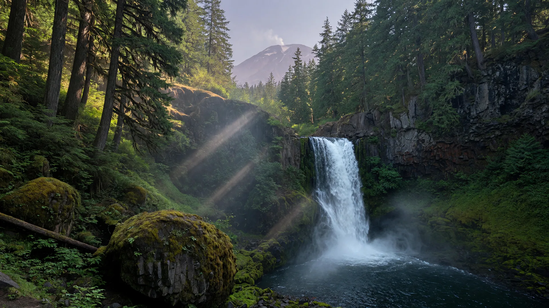
When the September light turns golden and the summer crowds drift home, the forests between Randle and Morton reveal their best side: waterfalls. This corner of Lewis County, carved by the Cispus and Cowlitz river systems at the edge of the Gifford Pinchot National Forest, holds some of the friendliest waterfall hikes in western Washington. Cathedral Falls tumbles more than 250 feet off a basalt overhang, Covel Creek Falls and Angel Falls hide up an old-growth valley on Cispus Road, and even the old standby, Iron Creek Falls, is worth knowing about this fall, with one honest caveat. Here is your local guide, with directions, difficulty, and the practical details that matter.
Where is this waterfall country, and how do I get there?
The waterfall country sits on the east side of Lewis County, roughly between Morton and Randle along the Highway 12 corridor. Morton, which locals call "where the mountains begin," is the natural western gateway, and Randle, farther east at the junction of Highway 12 and the forest roads, is the east-side base camp. Both towns sit about 45 minutes to an hour from the I-5 corridor at Centralia or Chehalis, which makes the whole area an easy day trip. From either town you climb out of the valley on paved highway, then turn onto well-signed forest roads for the last leg to each trailhead. Cell service thins out quickly once you leave town, so screenshot your directions before you go.
Cathedral Falls on the Goat Creek Trail: the easy stunner
Cathedral Falls is the headline act, and it is remarkably easy to reach. The Goat Creek Trail (Trail 205) runs about 1.8 miles round trip with only about 200 feet of elevation gain, which puts it in the easy category for most hikers and very doable with kids. The payoff is a 250-plus-foot waterfall that leaps off a dark basalt overhang into a mossy bowl, the water hanging in ribbons before it reaches the pool. In September the flow is lower than spring's roar but still steady, and the low-angle sun lights the canyon walls in a way summer never manages.
Getting there: from Morton, take Highway 12 east about 5.3 miles to Kosmos Road, signed for Riffe Lake and Taidnapam Park. Follow the signs toward Taidnapam for about 1.7 miles, turn left onto Champion Haul Road, and continue about 3.4 miles, crossing the Cowlitz River. On the far side of the bridge, turn right onto a gravel logging road for about three-quarters of a mile, then bear left onto unsigned Forest Road 2750 and follow it about 3.75 miles to the trailhead at the road's end. Figure roughly 14 miles from Morton and about 19 to 20 from Randle, with the last stretch on narrow gravel that is generally passable in a passenger car but much more comfortable with higher clearance.
The trail reaches the falls in less than a mile, crossing seasonal stream beds along the way. Keep children close at the viewpoints near the base, because the rim and the rocks around the plunge pool are steep and slick. The Forest Service notes there are no bridges at the crossings, so after heavy rain expect wet feet. The season runs roughly April through late November, and this window, right now, is one of the best: the trail is dry, the air is crisp, and there is no entry fee. A Discover Pass is not required here, and the Forest Service lists the trail as no-fee. One heads-up: the last access road crosses some private land and the gate has been known to close, so check the trail conditions note before you drive up.
Covel Creek Falls and Angel Falls: the old-growth loop
Head back toward Randle and you can dive deeper into the Cispus drainage. The Covel Creek and Angel Falls loop (Trails 228 and 228B) is a moderate hike of about 3.6 miles with roughly 1,100 feet of gain, and it is the one that feels like a real forest adventure. The trail climbs through towering old-growth Douglas fir and cedar, crosses Covel Creek twice, and delivers two completely different falls: Covel Creek Falls, a broad, layered cascade, and Angel Falls, a taller, more dramatic plunge deeper in the valley. It is quieter than Cathedral Falls, and on a weekday in September you may well have the whole valley to yourself.
Getting there: from Randle, head south where Highway 131 splits from the main forest-road network at the edge of town. After about a mile, bear left where Forest Road 23 splits from Forest Road 25, and continue on Road 23 for about 8.1 miles to its junction with Forest Road 28. Turn right on Road 28, which is paved for about the first mile and a half and then turns to gravel, and follow the signs to the Cispus Environmental Learning Center. The trailhead sits across from the Learning Center entrance on Road 28, roughly 10 to 11 miles from Randle. A high-clearance vehicle is a plus, and a Northwest Forest Pass is a good thing to carry in case you wander onto one of the neighboring trailheads that require one.
Bring sturdy boots for the creek crossings and poles if you like them on the climb out. The loop gains its elevation steadily rather than brutally, so take it at a comfortable pace and stop often: the old growth alone is worth lingering over, and the fall color in the vine maple along the creek is just beginning to turn.
Iron Creek Falls: the classic stop, with an honest 2026 update
Longtime locals will tell you about Iron Creek Falls, a short, sweet 38-foot cascade on Trail 91 off Forest Road 25 south of Randle, reachable by a near-flat walk of a few hundred feet from the road. It has always been the perfect family pit stop on the way to other adventures. Here is the important part for this fall: the whole Iron Creek recreation area is currently under a Forest Service closure order, in effect from July 2026 through at least July 2028, because last December's windstorm left hazardous dead and damaged trees across the area. Iron Creek Campground is closed for 2026, and while the falls trail itself is not named in the closure, the area is posted closed and access on Forest Road 25 has been disrupted. Do not count on Iron Creek this season. Check the Gifford Pinchot alerts page or call the Cowlitz Valley Ranger District before you plan around it, and build your waterfall day around Cathedral and Covel Creek instead.
When is the best time to go?
Waterfall watching is genuinely good three seasons out of four, and each has its character. Spring and early summer bring the biggest flows, with the falls in full roar after snowmelt or a good rain, at the price of muddier trails and busier weekends. Summer lowers the water to a trickle on the smallest creeks but keeps everything dry and easy. Fall, right now, is the sweet spot: the flows are still healthy after the early September rains, the temperatures are perfect for hiking, the trailhead crowds have vanished, and the vine maple on the valley walls is starting to catch fire. A clear morning after a rain front is the classic combination: fresh water, clean air, and the low sun lighting the canyon walls. Winters can deliver spectacular big-water conditions, but the forest roads close for snow or become unreliable, so check conditions before you commit.
Tips for a safe, easy waterfall day
- Check road and trail conditions first: forest roads and seasonal closures change fast, and fire-season orders can appear in summer heat. One look at the Gifford Pinchot alerts page before you leave avoids a wasted drive.
- Pack sturdy, grippy shoes: the stream crossings and slick, mossy rocks around the falls are the real hazards, more than any elevation.
- Keep kids and dogs close at the viewpoints: the rims and plunge-pool boulders at Cathedral Falls are steep and unforgiving.
- Download your maps: cell service disappears in the Cispus basin, and your phone map is no help without it. Screenshot directions and trails before you leave town.
- Carry a park pass if you have one: neither Goat Creek nor the Cispus trailheads strictly require one, but a Northwest Forest Pass covers you if you wander onto neighboring trails that do.
- Layer up and bring water: valley temps are cool in the morning shade, and you will linger longer than you planned. There are no services between Morton, Randle, and the trailheads.
Plan the day around it
Make it a full, unhurried loop: start with coffee and a pastry at Main Avenue Coffeehouse and Bakery in Morton, then take the scenic morning drive to Cathedral Falls while the light is still gentle. After lunch on the trail, swing back through Randle and up Cispus Road for the Covel Creek and Angel Falls loop in the afternoon. Wrap up the day with dinner at Papa Bear's Restaurant and Lounge on Morton's Main Avenue or Mill Town Smokehouse, and take the long way home down the Cispus River corridor while the low sun turns the river gold.
This is the quiet Lewis County that weekend crowds never see: old-growth cathedrals, water falling over basalt, and not a single traffic light between you and the trailhead. Bring sturdy shoes and a full day, and let the Cispus country do the rest.